
Satellite
Evidence for
Farm Insurance
Claims
Special Introductory Price £299
(regular price £399)
No upfront payment.
2 days turnaround
Why satellite evidence matters
DEFRA & RPA actively use NDVI
Satellite data is independent and time-stamped
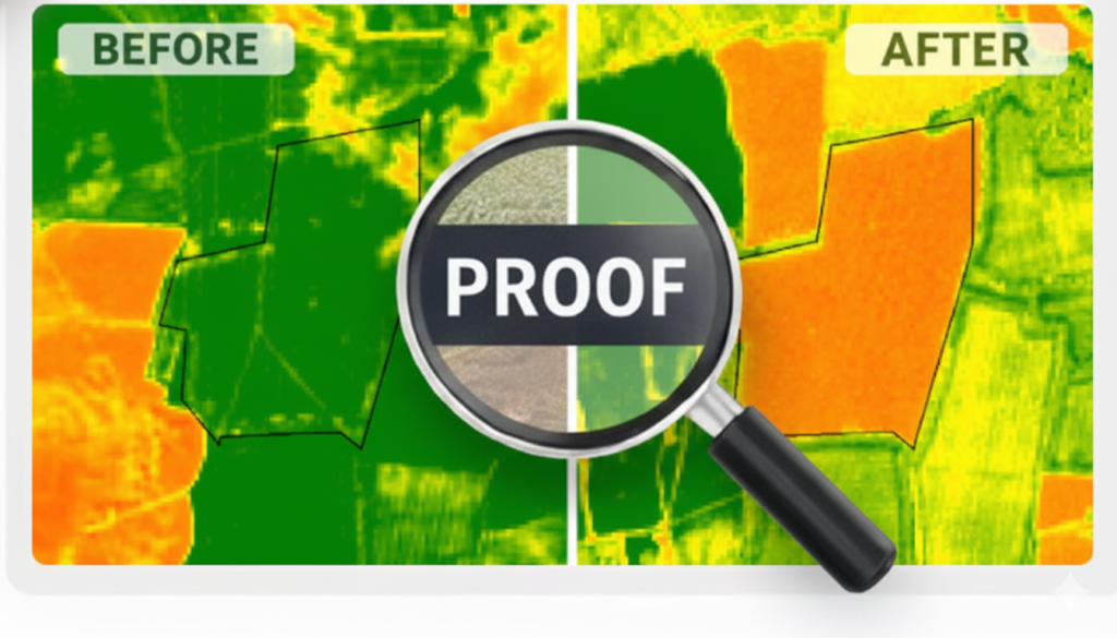
Before & after comparison provides clearer context
Ground inspections can be subjective and time-limited
10+ years data available for analysis
HOW IT WORKS
| 1. Tell us what happened | Share the field location and the date of the event. |
| 2. We gather satellite evidence | We source before‑and‑after imagery from trusted providers. |
| 3. We analyse and prepare your report | Clear visuals, highlighted areas, and factual descriptions. |
| 4. You receive a PDF report in 48 hours | Delivered by email, ready for insurers or dispute resolution. |
✓ European Space Agency Sentinel-2 data validated by decades of agricultural research.
✓ NDVI‑driven analysis trusted in UK and USA agricultural insurance.
WHO IT’S FOR



Why AgriProof?
| What Matters | How AgriProof Helps |
|---|---|
| Independence | Neutral, third‑party evidence with no stake in the outcome. |
| Clarity | Easy‑to‑understand visuals and explanations. |
| Accuracy | ESA Sentinel‑2 data validated by agricultural research |
| Insurance‑ready | Structured for claims, disputes, and documentation. |
| No site visit needed | Satellite data covers the entire field instantly. |
| Speed | Reports delivered within 2 working days. |
| Cost-effective | A fraction of the cost of traditional assessments. |
FAQ
Need Help Before Ordering?
Chat with us on WhatsApp
Quick questions, guidance, or support.